
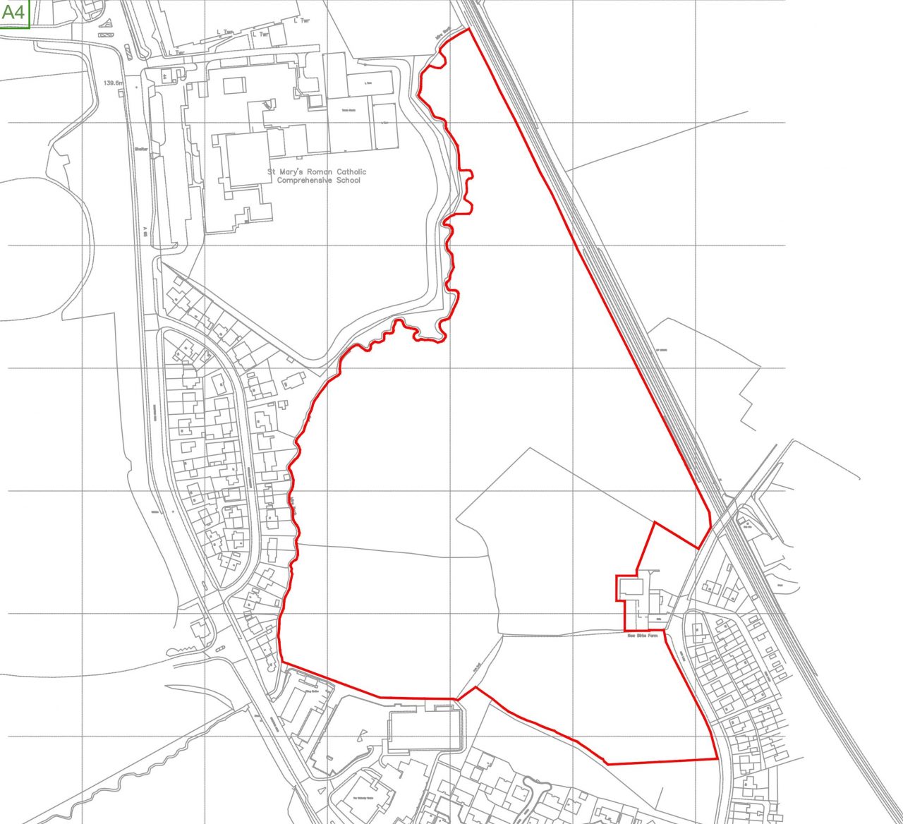
Richborough is promoting a 28.8 acre of agricultural land to the north of Guiseley and the site is within Leeds City Council (LCC) administrative boundary. The site is bounded by Mire Beck to the north, railway lines to the east, Ings Lane to the south and residential to the west.
The site was a proposed Green Belt allocation in the Leeds Sites Allocations Plan (SAP) until Aireborough Neighbourhood Development Forum challenged the plan which was heard in High Court.
Following further consultation and modifications to the SAP, the Council proposed that the site will remain in the Green Belt which is being considered by the Inspector before concluding whether the Council’s proposals are found sound and legally compliant before adoption.
The site will be promoted for Green Belt release within the Leeds City Council Local Plan.
 View on map